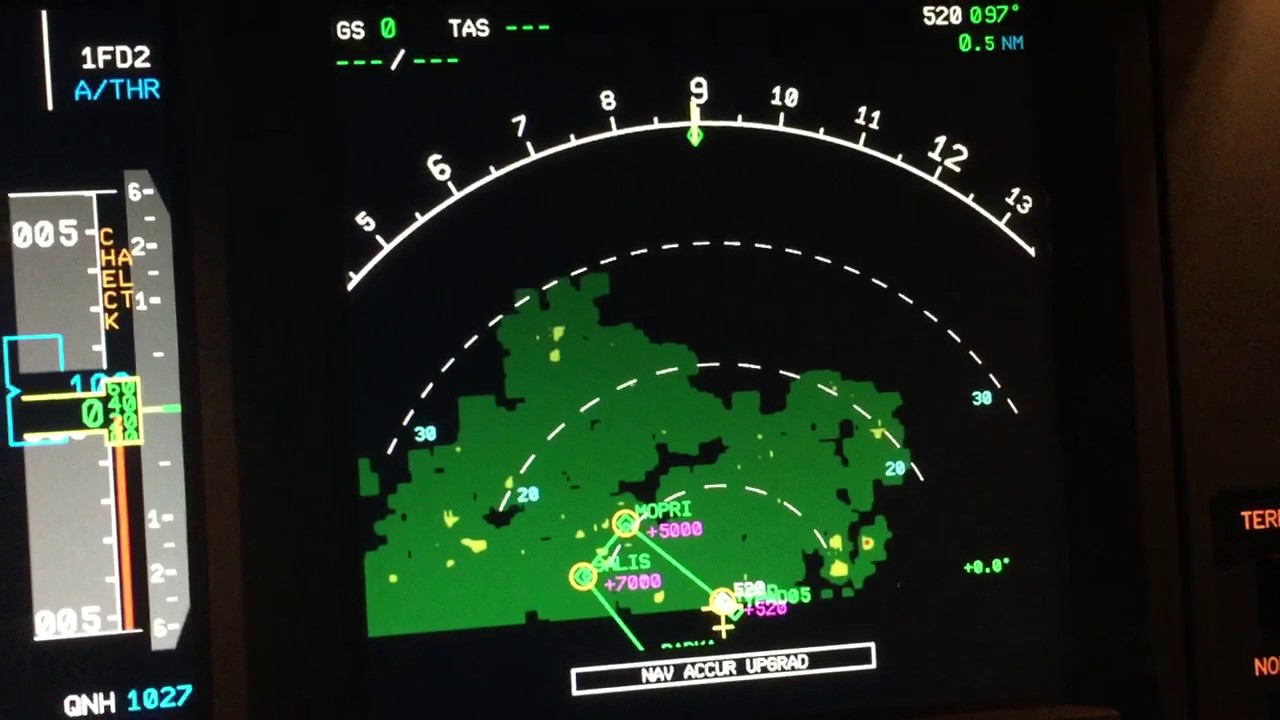
Weather radar has become an essential tool for forecasting precipitation and severe weather events in recent decades. Through the use of sophisticated technology, radar systems are able to provide valuable data that helps meteorologists better understand developing storms and issue warnings when dangerous conditions arise.
How Radar Works
Radar, which stands for radio detection and ranging, utilizes electromagnetic waves similar to radio waves that are beamed into the atmosphere from a transmitting antenna. When these radar pulses encounter precipitation or other particles in the atmosphere, a small amount of the energy is reflected back to the receiving antenna. By measuring the time it takes for the pulse to return, radar can determine the range, or distance, to atmospheric targets.
Different types of targets produce varying reflections depending on their size, shape and composition. Larger rain droplets, hail and graupel (soft hail) reflect stronger radar signals than smaller cloud droplets. This allows radar to differentiate between areas of rain versus areas of cloud that may precede rain. Doppler radar adds the ability to detect the motion of targets by measuring tiny changes in the radar signal’s frequency due to the motion of targets toward or away from the radar antenna.
Tracking Storms in Real-Time
Weather radars scan the atmosphere in a full 360 degree sweep, collecting volume scans of data over time that can be composed into dynamic images. Radar updates every 5 to 10 minutes, providing a real-time picture of precipitation locations and storm motions. Forecasters use these radar mosaics to track the evolution and movement of storms, identify areas of heavy rain and hail, and pinpoint regions where tornadoes may form.
Radar data is also integrated into sophisticated computer models that simulate storm development hours into the future. These models ingest the latest radar observations every few minutes to continually update the forecast based on what is actually occurring versus earlier model predictions. The marriage of radar and modeling has enormously improved short term warnings of convective hazards like flash flooding.
Severe Weather Detection
Beyond rain, Weather Radar is invaluable for detecting the potential for severe thunderstorms and tornadoes. Signature radar features provide clues to storm organization and intensity. For example, overhang echoes typically signify strong updrafts within supercell thunderstorms – environments prone to large hail and tornadoes. Radar also reveals the presence of mesocyclones, rotating pillars of air often preceding tornado formation.
Dual-polarization upgrades to radar have additionally enhanced detection of hail and tornado debris signatures. By transmitting both horizontal and vertical polarization signals and analyzing the reflective properties, dual-pol radar enables identification of hydrometeor shape and phase. This improves severity assessments, especially during the overnight hours when visibility is low. All these radar observations factor into timely watch and warning decisions issued by the National Weather Service.
Limitations and Improvements
While radar gives an indispensable view inside storms, there are limitations. Beam blockage from tall terrain can create coverage gaps. Additionally, ground clutter from precipitation below the radar elevation angle obscures data near the radar sites. Rain also attenuates the radar beam the farther it travels, decreasing sensitivity to lighter returns.
To address these shortfalls, the National Weather Service is modernizing its radar network under the Next Generation Radar (NEXRAD) program. Newer Doppler radars have enhanced resolution, sampling strategies and dual-polarization capabilities. Additional radars are being installed to close coverage holes. Radar data is also merged with that from other observing systems like satellites, profilers and surface networks through advanced assimilation techniques. These comprehensive upgrades strengthen radar’s value for protecting lives and property from hazardous weather.
Weather radar has revolutionized how we monitor storms and gave unprecedented insights not possible through observational networks alone. Though imperfect, radar offers an amazing window into complex precipitation processes in near real-time. Continued enhancements will only amplify its lifesaving benefits through more precise watches and warnings. As climate shifts alter storm dynamics, radar will remain a bedrock technology essential for adapting forecasting methods to emerging hazards.
*Note:
1. Source: Coherent Market Insights, Public sources, Desk research
2. We have leveraged AI tools to mine information and compile it


